Interpreting Earth. Informing Decisions.
Services
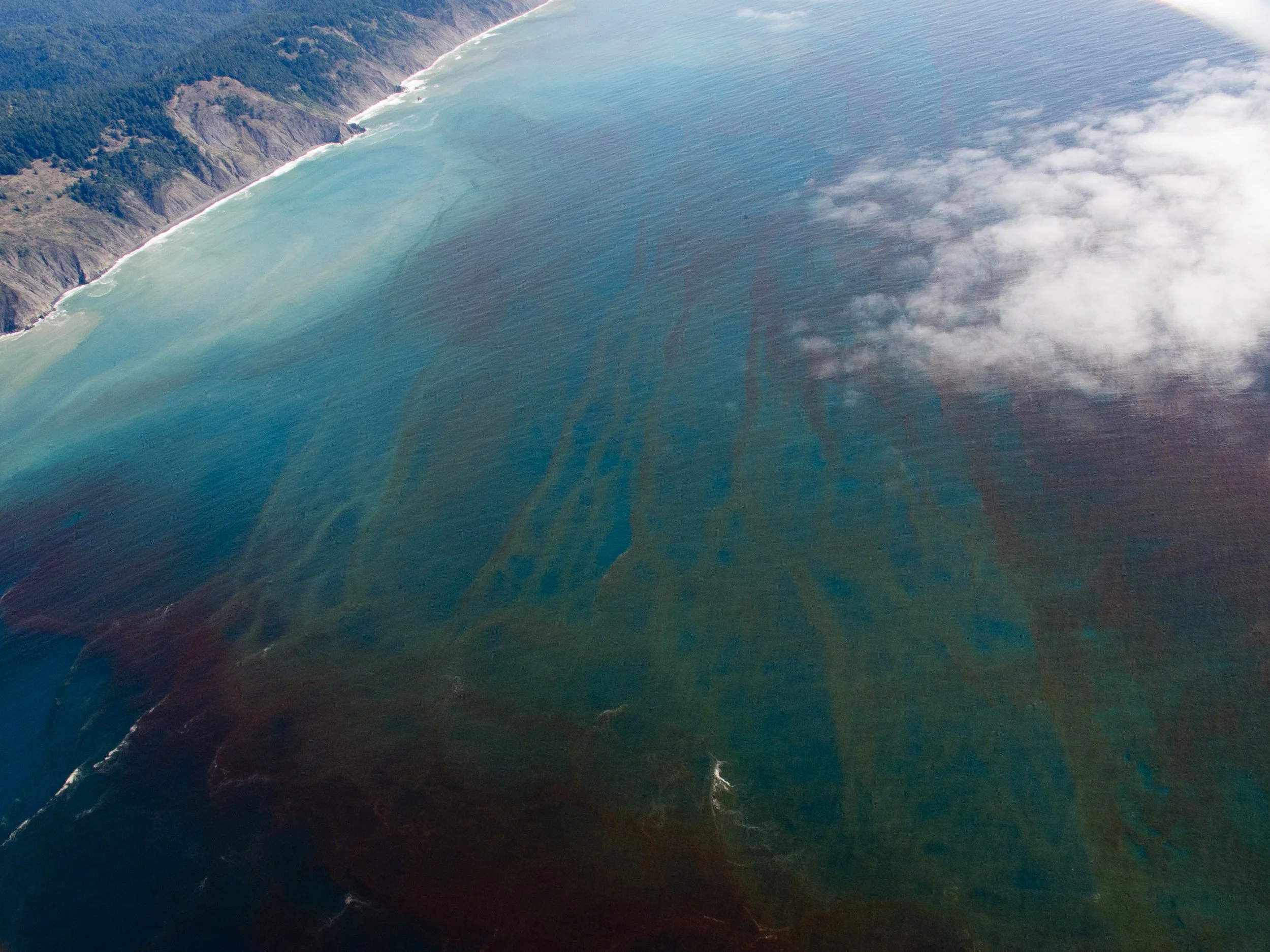
I integrate satellite, airborne, and UAV datasets with field measurements to quantify environmental patterns and ecosystem processes. My workflows turn complex spatial data into reproducible insights that inform research, management, and policy decisions.
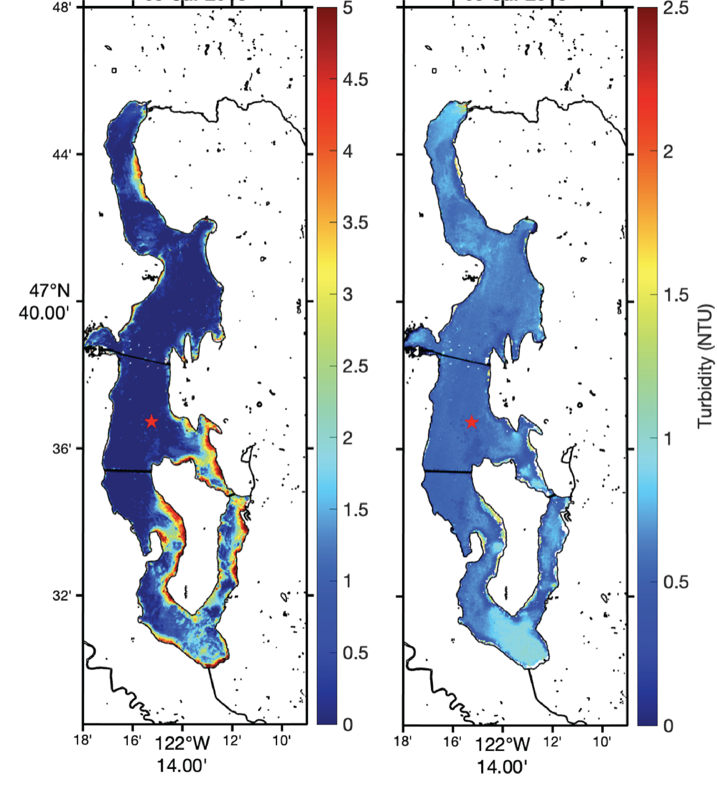
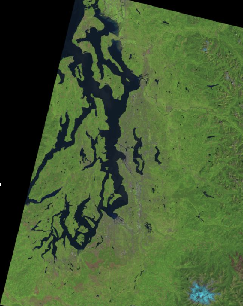
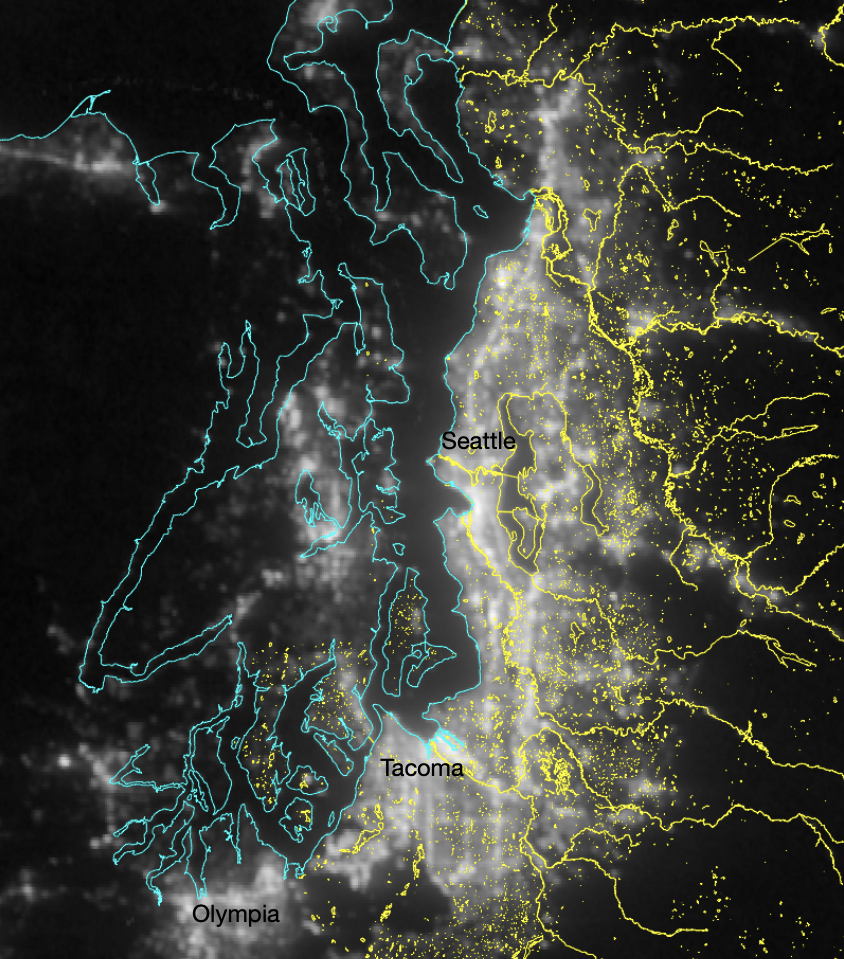
From freshwater lakes to urban forested areas, I analyze environmental drivers, such as light pollution, water clarity, and canopy structure, to understand ecosystem function and its influence on species and communities.
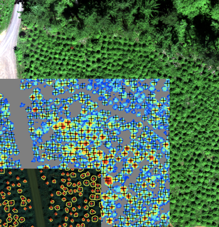
I develop custom analytical pipelines, time-series models, and predictive tools in R, Python, and MATLAB. My approach emphasizes reproducibility, scientific rigor, and translating data into actionable insights.
My
company vision
At Schulien Consulting, I envision a future where environmental decisions are guided by transparent, data-driven science. My work brings together advanced remote sensing, rigorous quantitative methods, and collaborative research to help partners and resource managers understand the changing landscapes, waters, and communities they manage.
I strive to make complex environmental data accessible, actionable, and meaningful—supporting decisions that uphold ecological resilience, informed stewardship, and equitable outcomes.